Where footpath and Bridleway meet
Introduction
The photograph on this page of Where footpath and Bridleway meet by John Reeves as part of the Geograph project.
The Geograph project started in 2005 with the aim of publishing, organising and preserving representative images for every square kilometre of Great Britain, Ireland and the Isle of Man.

There are currently over 7.5m images from over 14,400 individuals and you can help contribute to the project by visiting https://www.geograph.org.uk
Where footpath and Bridleway meet
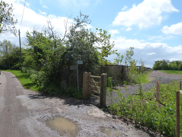
Image: © John Reeves Taken: 15 May 2012
A new gate marks where the footpath ends. It seems that there has been a minor re-routing of the footpath to follow the fence line. Google earth show the old line as a faint crop matk.
Images are licensed for reuse under creativecommons.org/licenses/by-sa/2.0
Image Location
Latitude
51.690234
Longitude
-0.07337