
Re-colonised sand-pit, Town of Lowton
Introduction
The photograph on this page of Re-colonised sand-pit, Town of Lowton by John Boothby as part of the Geograph project.
The Geograph project started in 2005 with the aim of publishing, organising and preserving representative images for every square kilometre of Great Britain, Ireland and the Isle of Man.

There are currently over 7.5m images from over 14,400 individuals and you can help contribute to the project by visiting https://www.geograph.org.uk
Re-colonised sand-pit, Town of Lowton
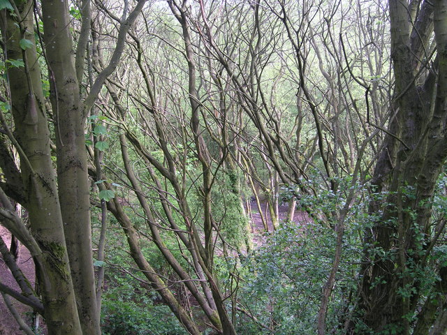
Image: © John Boothby Taken: 13 May 2012
This sand pit (approx 17m deep) was the last of a series which exploited the glacial deposits on either side of the A572 between Newton-le-Willows and Lowton during the 19th/20th centuries (nearby are Sandfield Hall and Sandup Farm!). It has now almost completely recolonised with trees, though only 20 years ago there was considerable open grassland.
Images are licensed for reuse under creativecommons.org/licenses/by-sa/2.0
Image Location

Latitude
53.460198
Longitude
-2.588248