Otterspool Weir - Archimedes Screw
Introduction
The photograph on this page of Otterspool Weir - Archimedes Screw by John Topping as part of the Geograph project.
The Geograph project started in 2005 with the aim of publishing, organising and preserving representative images for every square kilometre of Great Britain, Ireland and the Isle of Man.

There are currently over 7.5m images from over 14,400 individuals and you can help contribute to the project by visiting https://www.geograph.org.uk
Otterspool Weir - Archimedes Screw
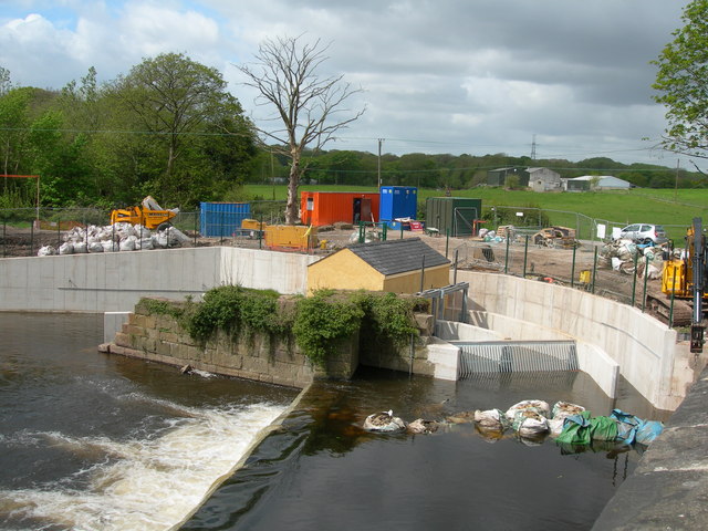
Image: © John Topping Taken: 14 May 2012
Part of Stockport council renewable energy shemes (method of generation - Archimedes Screw) under construction.
Images are licensed for reuse under creativecommons.org/licenses/by-sa/2.0
Image Location
Latitude
53.401653
Longitude
-2.097723