Close up of the walls
Introduction
The photograph on this page of Close up of the walls by Bill Nicholls as part of the Geograph project.
The Geograph project started in 2005 with the aim of publishing, organising and preserving representative images for every square kilometre of Great Britain, Ireland and the Isle of Man.

There are currently over 7.5m images from over 14,400 individuals and you can help contribute to the project by visiting https://www.geograph.org.uk
Close up of the walls
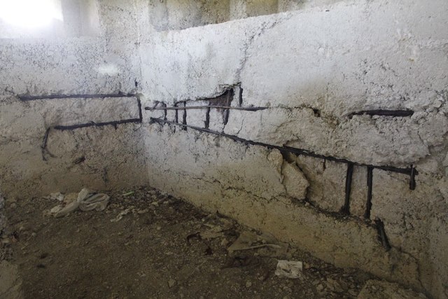
Image: © Bill Nicholls Taken: 6 May 2012
Closer view of the internal wall of the pillbox near Kelmscott which is suffering from erosion not helped by the way it was built. Image
Images are licensed for reuse under creativecommons.org/licenses/by-sa/2.0
Image Location
Latitude
51.684043
Longitude
-1.628504