2012 : Roundway Farm from Roundway Hill
Introduction
The photograph on this page of 2012 : Roundway Farm from Roundway Hill by Maurice Pullin as part of the Geograph project.
The Geograph project started in 2005 with the aim of publishing, organising and preserving representative images for every square kilometre of Great Britain, Ireland and the Isle of Man.

There are currently over 7.5m images from over 14,400 individuals and you can help contribute to the project by visiting https://www.geograph.org.uk
2012 : Roundway Farm from Roundway Hill
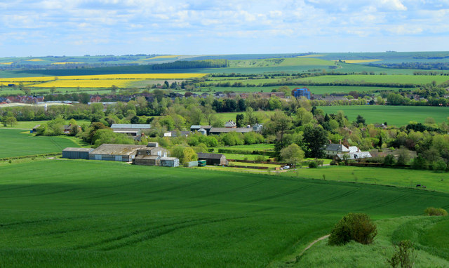
Image: © Maurice Pullin Taken: 11 May 2012
With Roundway Hill Farm behind, beyond that the north eastern edge of Devizes spreads itself along the A361. And even beyonder, near the skyline, the north western escarpment of Salisbury Plain appears.
Images are licensed for reuse under creativecommons.org/licenses/by-sa/2.0
Image Location
Latitude
51.369749
Longitude
-1.980989