The Monument
Introduction
The photograph on this page of The Monument by Colin Smith as part of the Geograph project.
The Geograph project started in 2005 with the aim of publishing, organising and preserving representative images for every square kilometre of Great Britain, Ireland and the Isle of Man.

There are currently over 7.5m images from over 14,400 individuals and you can help contribute to the project by visiting https://www.geograph.org.uk
The Monument
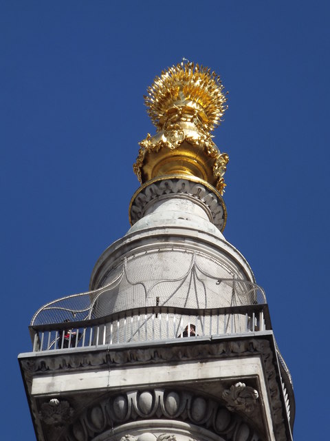
Image: © Colin Smith Taken: 11 May 2012
Looking up more than 200 feet to the top of The Monument, the world's highest free standing Doric column and monument to The Great Fire of London (1666). http://www.themonument.info/
Images are licensed for reuse under creativecommons.org/licenses/by-sa/2.0
Image Location


Leaflet Map data © OpenStreetMap
Latitude
51.510142
Longitude
-0.086021