Rali Clwb Ffermwyr Ifanc Eryri - Snowdonia Young Farmers Club Rally
Introduction
The photograph on this page of Rali Clwb Ffermwyr Ifanc Eryri - Snowdonia Young Farmers Club Rally by Alan Fryer as part of the Geograph project.
The Geograph project started in 2005 with the aim of publishing, organising and preserving representative images for every square kilometre of Great Britain, Ireland and the Isle of Man.

There are currently over 7.5m images from over 14,400 individuals and you can help contribute to the project by visiting https://www.geograph.org.uk
Rali Clwb Ffermwyr Ifanc Eryri - Snowdonia Young Farmers Club Rally
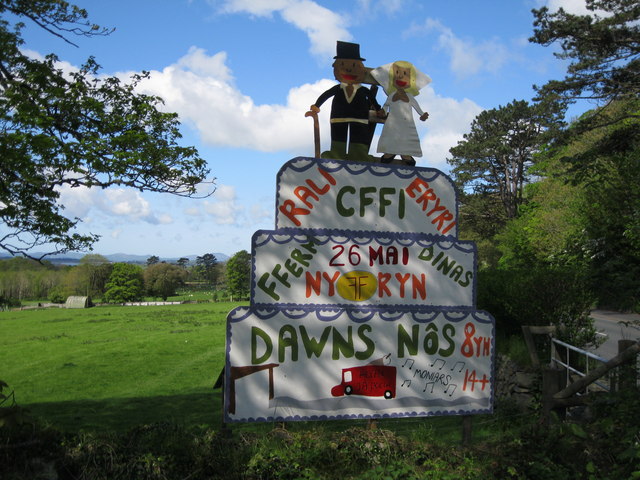
Image: © Alan Fryer Taken: 12 May 2012
The local Young Farmers events are usually advertised with elaborate homemade signs. This one outside Criccieth advertises a rally and dance on 26 May 2012.
Images are licensed for reuse under creativecommons.org/licenses/by-sa/2.0
Image Location


Leaflet Map data © OpenStreetMap
Latitude
52.91876
Longitude
-4.242736