St Peter's Square
Introduction
The photograph on this page of St Peter's Square by David Dixon as part of the Geograph project.
The Geograph project started in 2005 with the aim of publishing, organising and preserving representative images for every square kilometre of Great Britain, Ireland and the Isle of Man.

There are currently over 7.5m images from over 14,400 individuals and you can help contribute to the project by visiting https://www.geograph.org.uk
St Peter's Square
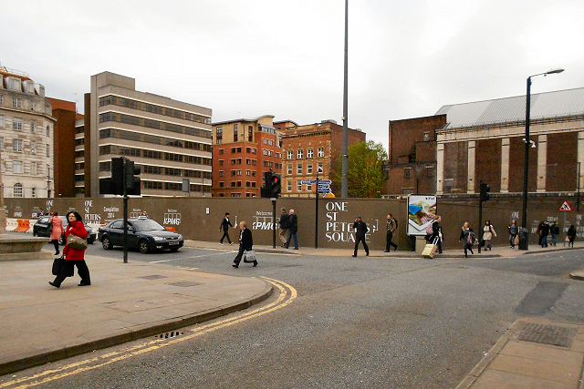
Image: © David Dixon Taken: 2 May 2012
The buildings on the eastern side of St Peter's Square, constructed in the 1960s, have been demolished in preparation for a new development "One St Peter's Square". http://menmedia.co.uk/manchestereveningnews/news/s/1488737_final-design-visions-for-st-peters-square-in-manchester-go-on-public-display Manchester Evening News
Images are licensed for reuse under creativecommons.org/licenses/by-sa/2.0
Image Location
Latitude
53.477488
Longitude
-2.243446