Bakersfield: the corner of Oakdale and Greendale Roads
Introduction
The photograph on this page of Bakersfield: the corner of Oakdale and Greendale Roads by John Sutton as part of the Geograph project.
The Geograph project started in 2005 with the aim of publishing, organising and preserving representative images for every square kilometre of Great Britain, Ireland and the Isle of Man.

There are currently over 7.5m images from over 14,400 individuals and you can help contribute to the project by visiting https://www.geograph.org.uk
Bakersfield: the corner of Oakdale and Greendale Roads
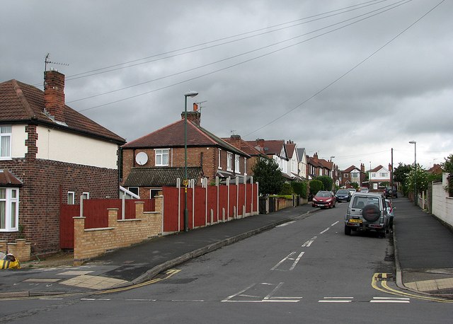
Image: © John Sutton Taken: 10 May 2012
Houses built in the 1930s as the city expanded eastwards into the hills north of Colwick Woods.
Images are licensed for reuse under creativecommons.org/licenses/by-sa/2.0
Image Location
Latitude
52.960657
Longitude
-1.104951