Nottingham - NG3 (Old Sneinton)
Introduction
The photograph on this page of Nottingham - NG3 (Old Sneinton) by David Hallam-Jones as part of the Geograph project.
The Geograph project started in 2005 with the aim of publishing, organising and preserving representative images for every square kilometre of Great Britain, Ireland and the Isle of Man.

There are currently over 7.5m images from over 14,400 individuals and you can help contribute to the project by visiting https://www.geograph.org.uk
Nottingham - NG3 (Old Sneinton)
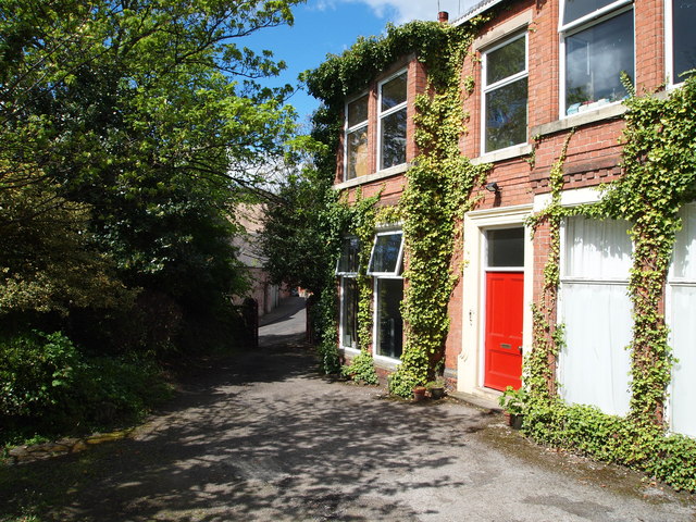
Image: © David Hallam-Jones Taken: 12 May 2012
How many mothers will have trudged up and down this drive to and from Castle Street (seen between the gate posts) whilst it functioned as Trentham Lodge Health Centre? Now however, this large mid-Victorian house appears to be occupied by several families.
Images are licensed for reuse under creativecommons.org/licenses/by-sa/2.0
Image Location
Latitude
52.9504
Longitude
-1.127935