A view east along Marlborough Road, Swindon, Wiltshire
Introduction
The photograph on this page of A view east along Marlborough Road, Swindon, Wiltshire by Brian Robert Marshall as part of the Geograph project.
The Geograph project started in 2005 with the aim of publishing, organising and preserving representative images for every square kilometre of Great Britain, Ireland and the Isle of Man.

There are currently over 7.5m images from over 14,400 individuals and you can help contribute to the project by visiting https://www.geograph.org.uk
A view east along Marlborough Road, Swindon, Wiltshire
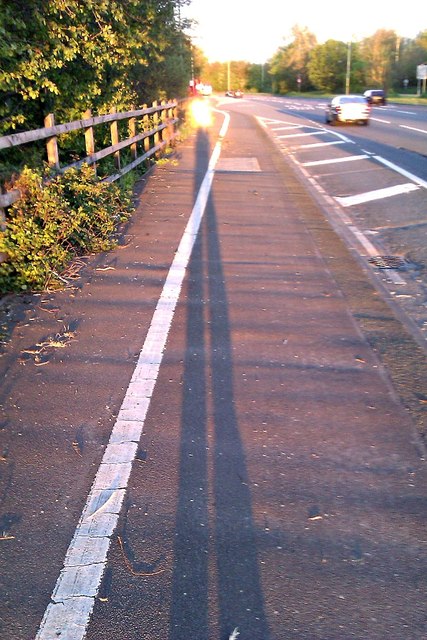
Image: © Brian Robert Marshall Taken: 11 May 2012
This stretch of Marlborough Road was widened some years ago partly to accommodate an entrance to a new hospital, the Great Western, and to provide additional capacity for this major route into Swindon from both the M4 and M5 motorways which are connected by the A419, out of view behind the trees in the background.
Images are licensed for reuse under creativecommons.org/licenses/by-sa/2.0
Image Location
Latitude
51.541259
Longitude
-1.725987