The north end of St Peter's Street
Introduction
The photograph on this page of The north end of St Peter's Street by John Sutton as part of the Geograph project.
The Geograph project started in 2005 with the aim of publishing, organising and preserving representative images for every square kilometre of Great Britain, Ireland and the Isle of Man.

There are currently over 7.5m images from over 14,400 individuals and you can help contribute to the project by visiting https://www.geograph.org.uk
The north end of St Peter's Street
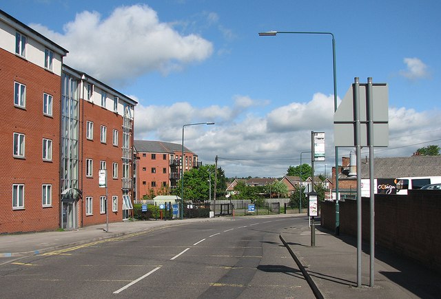
Image: © John Sutton Taken: 11 May 2012
The road turns to the right by the River Leen and becomes Hartley Road (see Image]). Older Radfordians will remember Skill's bus garage on the left and the former workhouse on the right. This is now a land of student flats.
Images are licensed for reuse under creativecommons.org/licenses/by-sa/2.0
Image Location
Latitude
52.95932
Longitude
-1.181348