The footpath from Eakring entering Maplebeck
Introduction
The photograph on this page of The footpath from Eakring entering Maplebeck by Jonathan Thacker as part of the Geograph project.
The Geograph project started in 2005 with the aim of publishing, organising and preserving representative images for every square kilometre of Great Britain, Ireland and the Isle of Man.

There are currently over 7.5m images from over 14,400 individuals and you can help contribute to the project by visiting https://www.geograph.org.uk
The footpath from Eakring entering Maplebeck
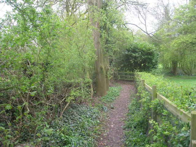
Image: © Jonathan Thacker Taken: 7 May 2012
After crossing the road the path does a short zig-zag before its final stretch into the village.
Images are licensed for reuse under creativecommons.org/licenses/by-sa/2.0
Image Location
Latitude
53.141443
Longitude
-0.941683