Cardross Road, Craigendoran
Introduction
The photograph on this page of Cardross Road, Craigendoran by Lairich Rig as part of the Geograph project.
The Geograph project started in 2005 with the aim of publishing, organising and preserving representative images for every square kilometre of Great Britain, Ireland and the Isle of Man.

There are currently over 7.5m images from over 14,400 individuals and you can help contribute to the project by visiting https://www.geograph.org.uk
Cardross Road, Craigendoran
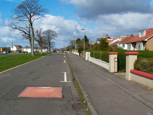
Image: © Lairich Rig Taken: 13 Apr 2012
The busy main road through Craigendoran runs parallel to this one, and can be seen on the left with yellow signs alongside it. An Image can be seen in this area.
Images are licensed for reuse under creativecommons.org/licenses/by-sa/2.0
Image Location
Latitude
55.995859
Longitude
-4.70779