Approaching the turning to Portbury
Introduction
The photograph on this page of Approaching the turning to Portbury by Ruth Riddle as part of the Geograph project.
The Geograph project started in 2005 with the aim of publishing, organising and preserving representative images for every square kilometre of Great Britain, Ireland and the Isle of Man.

There are currently over 7.5m images from over 14,400 individuals and you can help contribute to the project by visiting https://www.geograph.org.uk
Approaching the turning to Portbury
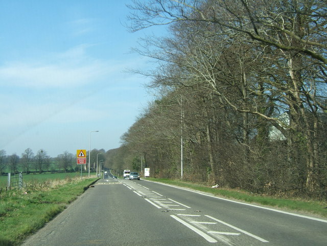
Image: © Ruth Riddle Taken: 23 Mar 2012
Looking west along the B3128 past a works site on the right, towards the junction with Portbury Lane, which leads north to near junction 19 of the M5.
Images are licensed for reuse under creativecommons.org/licenses/by-sa/2.0
Image Location
Latitude
51.44768
Longitude
-2.715554