Woodland, Tintern
Introduction
The photograph on this page of Woodland, Tintern by Richard Webb as part of the Geograph project.
The Geograph project started in 2005 with the aim of publishing, organising and preserving representative images for every square kilometre of Great Britain, Ireland and the Isle of Man.

There are currently over 7.5m images from over 14,400 individuals and you can help contribute to the project by visiting https://www.geograph.org.uk
Woodland, Tintern
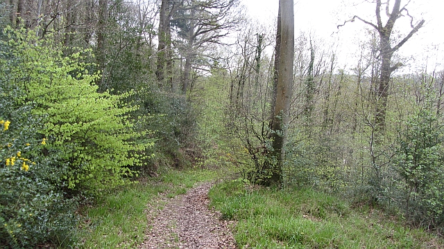
Image: © Richard Webb Taken: 6 May 2012
In common with most places where there was an iron industry, oak woods survive here. Charcoal burners did not destroy their living. The steep hillsides have lots of flat platforms where the charcoal ovens were situated. The nearer you get to the village the more likely it is that a mapped path exists. Many mapped paths (OS and Bristol Orienteering Klub) further up the hillside have disappeared under brambles.
Images are licensed for reuse under creativecommons.org/licenses/by-sa/2.0
Image Location
Latitude
51.700467
Longitude
-2.694648