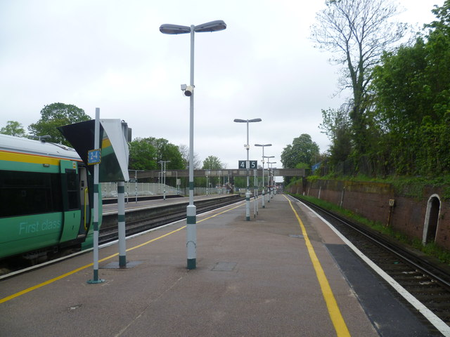
South Croydon station
Introduction
The photograph on this page of South Croydon station by Marathon as part of the Geograph project.
The Geograph project started in 2005 with the aim of publishing, organising and preserving representative images for every square kilometre of Great Britain, Ireland and the Isle of Man.
There are currently over 7.5m images from over 14,400 individuals and you can help contribute to the project by visiting https://www.geograph.org.uk

Image: © Marathon Taken: 9 May 2012
South Croydon station was originally a terminus, next to the Brighton Line but without any platforms on it. It was at the end of a one-mile extension of the local lines from London to New Croydon station, opened by the London Brighton & South Coast Railway in 1865. The aim was to provide more space for reversing local trains than could be afforded at the busy New Croydon station. In 1894 the railway obtained authority to extend the local line from South Croydon to Coulsdon, parallel to the existing main line. The station was rebuilt as a through station with platforms on all the lines prior to the opening of the new line in November 1899. This photograph looks northwards along the down slow line on the right. On the left a train for Milton Keynes via the West London Line waits to start its journey. The Milton Keynes trains now terminate at South Croydon rather than East Croydon as there is more room for them to wait.

