Nottingham - NG3 (Sneinton)
Introduction
The photograph on this page of Nottingham - NG3 (Sneinton) by David Hallam-Jones as part of the Geograph project.
The Geograph project started in 2005 with the aim of publishing, organising and preserving representative images for every square kilometre of Great Britain, Ireland and the Isle of Man.

There are currently over 7.5m images from over 14,400 individuals and you can help contribute to the project by visiting https://www.geograph.org.uk
Nottingham - NG3 (Sneinton)
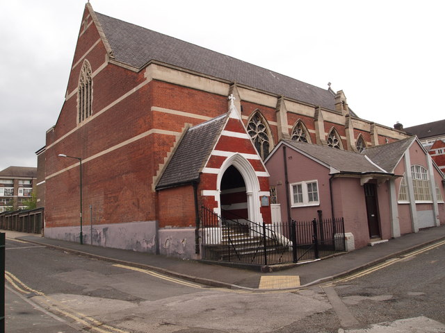
Image: © David Hallam-Jones Taken: 7 May 2012
West Street becomes Bond Street at this corner, on which is also situated a Ukrainian Catholic Church. The small church hall immediately in front of it seems likely to have been added later?
Images are licensed for reuse under creativecommons.org/licenses/by-sa/2.0
Image Location
Latitude
52.953516
Longitude
-1.136059