Nottingham - NG3 (Sneinton)
Introduction
The photograph on this page of Nottingham - NG3 (Sneinton) by David Hallam-Jones as part of the Geograph project.
The Geograph project started in 2005 with the aim of publishing, organising and preserving representative images for every square kilometre of Great Britain, Ireland and the Isle of Man.

There are currently over 7.5m images from over 14,400 individuals and you can help contribute to the project by visiting https://www.geograph.org.uk
Nottingham - NG3 (Sneinton)
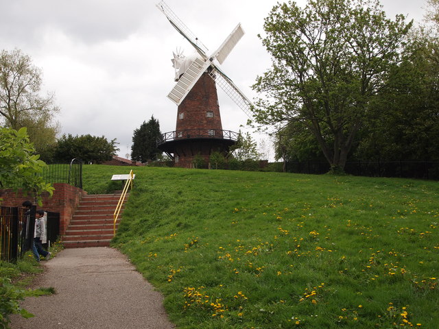
Image: © David Hallam-Jones Taken: 7 May 2012
The footpath and access steps linking Belvoir Hill and Green's Mill. The main entrance to this public 'green space' however, is via a footpath to/from the designated mill car park that runs in front of the tree in the top left-hand portion of the picture.
Images are licensed for reuse under creativecommons.org/licenses/by-sa/2.0
Image Location
Latitude
52.951848
Longitude
-1.129245