Nottingham - NG3 (Sneinton)
Introduction
The photograph on this page of Nottingham - NG3 (Sneinton) by David Hallam-Jones as part of the Geograph project.
The Geograph project started in 2005 with the aim of publishing, organising and preserving representative images for every square kilometre of Great Britain, Ireland and the Isle of Man.

There are currently over 7.5m images from over 14,400 individuals and you can help contribute to the project by visiting https://www.geograph.org.uk
Nottingham - NG3 (Sneinton)
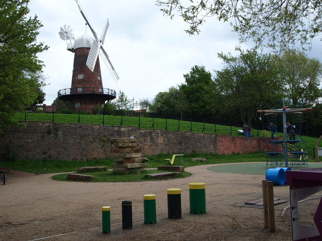
Image: © David Hallam-Jones Taken: 7 May 2012
The Children's Playground and public 'green space' below Green's Mill, with a flight of steps linking Belvoir Hill and the windmill.
Images are licensed for reuse under creativecommons.org/licenses/by-sa/2.0
Image Location
Latitude
52.951849
Longitude
-1.129394