Llwybr Clawdd Wat heading North towards Sontley
Introduction
The photograph on this page of Llwybr Clawdd Wat heading North towards Sontley by John Haynes as part of the Geograph project.
The Geograph project started in 2005 with the aim of publishing, organising and preserving representative images for every square kilometre of Great Britain, Ireland and the Isle of Man.

There are currently over 7.5m images from over 14,400 individuals and you can help contribute to the project by visiting https://www.geograph.org.uk
Llwybr Clawdd Wat heading North towards Sontley
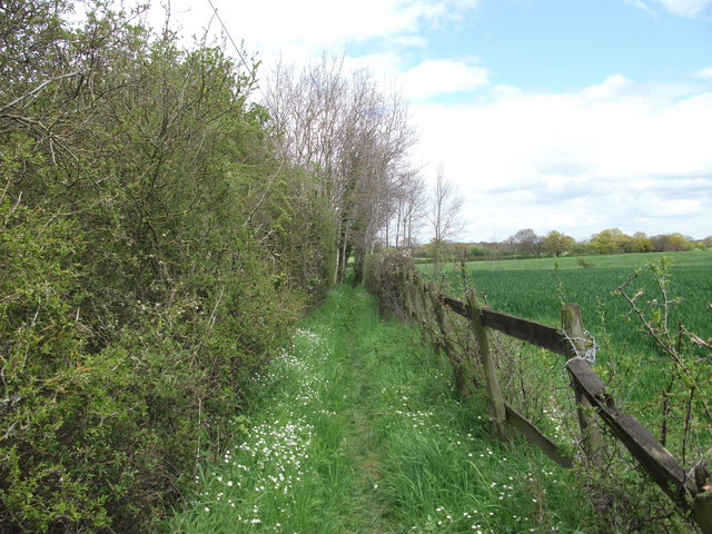
Image: © John Haynes Taken: 8 May 2012
The Wat's Dyke Way covers 99km from Llanymynech to Holywell and this section is along beside the earthwork. http://www.watsdykeway.org/1.html
Images are licensed for reuse under creativecommons.org/licenses/by-sa/2.0
Image Location


Leaflet Map data © OpenStreetMap
Latitude
53.004841
Longitude
-3.012121