Tiverton : Former Tiverton & District Hospital
Introduction
The photograph on this page of Tiverton : Former Tiverton & District Hospital by Lewis Clarke as part of the Geograph project.
The Geograph project started in 2005 with the aim of publishing, organising and preserving representative images for every square kilometre of Great Britain, Ireland and the Isle of Man.

There are currently over 7.5m images from over 14,400 individuals and you can help contribute to the project by visiting https://www.geograph.org.uk
Tiverton : Former Tiverton & District Hospital
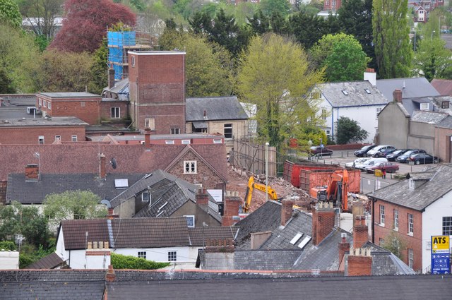
Image: © Lewis Clarke Taken: 8 May 2012
From the tower at St Peter's Church looking down towards the former hospital which is now a building site.
Images are licensed for reuse under creativecommons.org/licenses/by-sa/2.0
Image Location
Latitude
50.905025
Longitude
-3.485872