The Yapton/Ford parish boundary ditch
Introduction
The photograph on this page of The Yapton/Ford parish boundary ditch by Peter H Jones as part of the Geograph project.
The Geograph project started in 2005 with the aim of publishing, organising and preserving representative images for every square kilometre of Great Britain, Ireland and the Isle of Man.

There are currently over 7.5m images from over 14,400 individuals and you can help contribute to the project by visiting https://www.geograph.org.uk
The Yapton/Ford parish boundary ditch
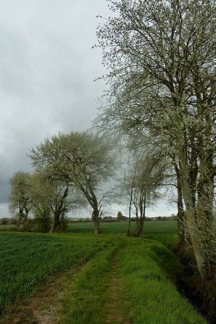
Image: © Peter H Jones Taken: 4 Apr 2012
Along part of this old parish boundary ditch which holds water in parts long enough for frogs at present and formerly newts to breed successfully, there grows these majestic poplars. At the time this photo was taken the delicate leaves which are almost white on their back surface had emerged and provided a fine contrast to the dark slightly ominous sky. The public footpath follows the ditch at this point.
Images are licensed for reuse under creativecommons.org/licenses/by-sa/2.0
Image Location
Latitude
50.81103
Longitude
-0.606859