The road to the grange
Introduction
The photograph on this page of The road to the grange by Michael Dibb as part of the Geograph project.
The Geograph project started in 2005 with the aim of publishing, organising and preserving representative images for every square kilometre of Great Britain, Ireland and the Isle of Man.

There are currently over 7.5m images from over 14,400 individuals and you can help contribute to the project by visiting https://www.geograph.org.uk
The road to the grange
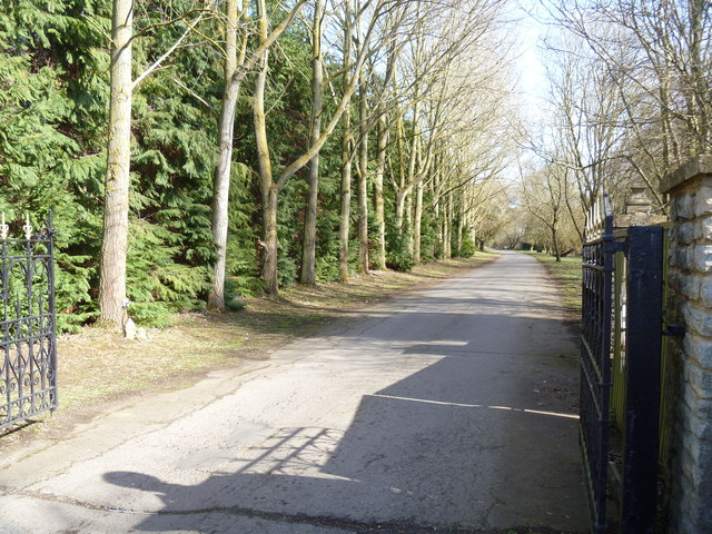
Image: © Michael Dibb Taken: 10 Mar 2012
Marston Grange is behind the trees to the right. The road also provides access to Jordans Farm and several cottages.
Images are licensed for reuse under creativecommons.org/licenses/by-sa/2.0
Image Location
Latitude
52.114723
Longitude
-1.777836