Towards Witpit Lane copse
Introduction
The photograph on this page of Towards Witpit Lane copse by Frank Skinner as part of the Geograph project.
The Geograph project started in 2005 with the aim of publishing, organising and preserving representative images for every square kilometre of Great Britain, Ireland and the Isle of Man.

There are currently over 7.5m images from over 14,400 individuals and you can help contribute to the project by visiting https://www.geograph.org.uk
Towards Witpit Lane copse
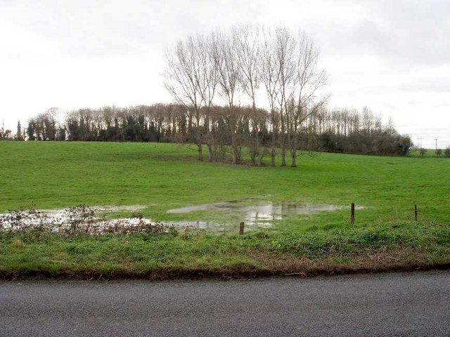
Image: © Frank Skinner Taken: 14 Dec 2006
Evidence of underlying layer of heavy clay preventing drainage during wet winter months.
Images are licensed for reuse under creativecommons.org/licenses/by-sa/2.0
Image Location


Leaflet Map data © OpenStreetMap
Latitude
51.721198
Longitude
-1.92178