Windrush Heights
Introduction
The photograph on this page of Windrush Heights by Jonathan Billinger as part of the Geograph project.
The Geograph project started in 2005 with the aim of publishing, organising and preserving representative images for every square kilometre of Great Britain, Ireland and the Isle of Man.

There are currently over 7.5m images from over 14,400 individuals and you can help contribute to the project by visiting https://www.geograph.org.uk
Windrush Heights
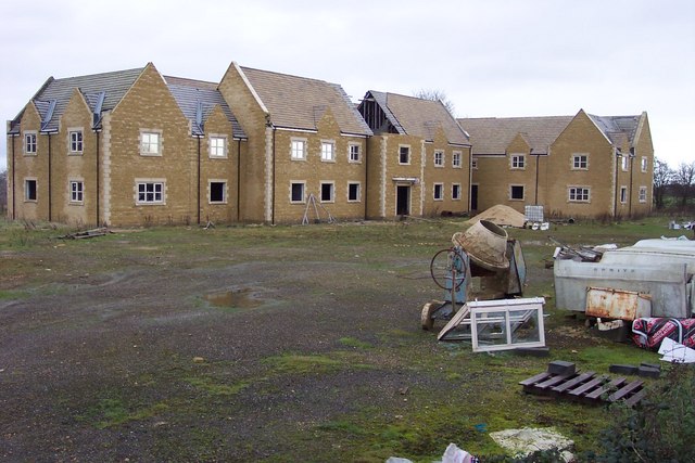
Image: © Jonathan Billinger Taken: 12 Dec 2006
This impressive building right next to the A40 has been under construction for several years without completion.
Images are licensed for reuse under creativecommons.org/licenses/by-sa/2.0
Image Location
Latitude
51.811718
Longitude
-1.727253