Route of a dismantled railway line, Abertridwr
Introduction
The photograph on this page of Route of a dismantled railway line, Abertridwr by Jaggery as part of the Geograph project.
The Geograph project started in 2005 with the aim of publishing, organising and preserving representative images for every square kilometre of Great Britain, Ireland and the Isle of Man.

There are currently over 7.5m images from over 14,400 individuals and you can help contribute to the project by visiting https://www.geograph.org.uk
Route of a dismantled railway line, Abertridwr
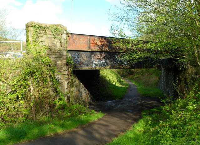
Image: © Jaggery Taken: 1 May 2012
Now a footpath and cycleway, this was the route of the railway running east from the former Abertridwr railway station, which was located a few tens of metres behind the camera. Passenger services at the station ended in 1964. The bridge carries Aberfawr Road.
Images are licensed for reuse under creativecommons.org/licenses/by-sa/2.0
Image Location
Latitude
51.592981
Longitude
-3.26886