The B4358 near Pentre-llwyn-llwyd, Powys
Introduction
The photograph on this page of The B4358 near Pentre-llwyn-llwyd, Powys by Roger D Kidd as part of the Geograph project.
The Geograph project started in 2005 with the aim of publishing, organising and preserving representative images for every square kilometre of Great Britain, Ireland and the Isle of Man.

There are currently over 7.5m images from over 14,400 individuals and you can help contribute to the project by visiting https://www.geograph.org.uk
The B4358 near Pentre-llwyn-llwyd, Powys
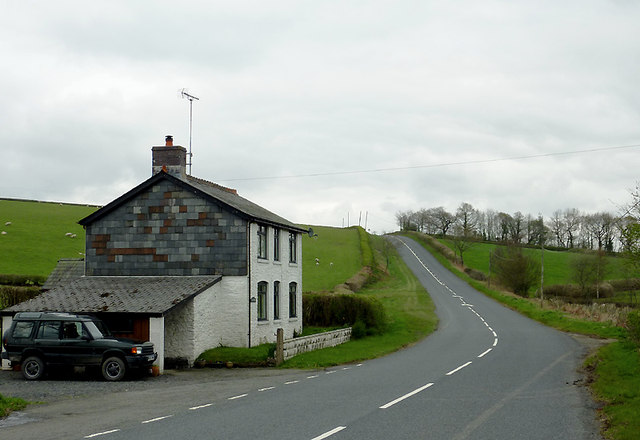
Image: © Roger D Kidd Taken: 28 Apr 2012
The road connects Beulah with Newbridge-on-Wye and Llandrindod Wells. Here at Glanesgob, it climbs towards Llanafarn-fawr.
Images are licensed for reuse under creativecommons.org/licenses/by-sa/2.0
Image Location
Latitude
52.182243
Longitude
-3.516918