Shacklegate Lane junction with Waldegrave Road
Introduction
The photograph on this page of Shacklegate Lane junction with Waldegrave Road by John S Turner as part of the Geograph project.
The Geograph project started in 2005 with the aim of publishing, organising and preserving representative images for every square kilometre of Great Britain, Ireland and the Isle of Man.

There are currently over 7.5m images from over 14,400 individuals and you can help contribute to the project by visiting https://www.geograph.org.uk
Shacklegate Lane junction with Waldegrave Road
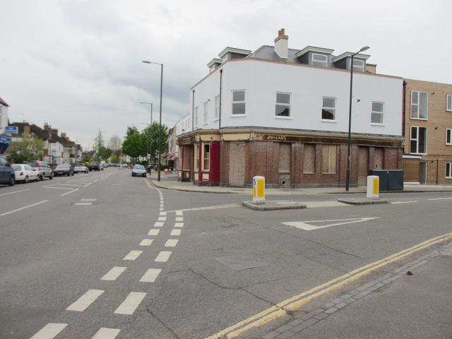
Image: © John S Turner Taken: 6 May 2012
Looking across the end of Shacklegate Lane at its junction with Waldegrave Road. On the corner the former Waldegrave Arms is in the process of being redeveloped.
Images are licensed for reuse under creativecommons.org/licenses/by-sa/2.0
Image Location
Latitude
51.432882
Longitude
-0.338716