Strawberry Hill Footpath from Shacklegate Lane
Introduction
The photograph on this page of Strawberry Hill Footpath from Shacklegate Lane by John S Turner as part of the Geograph project.
The Geograph project started in 2005 with the aim of publishing, organising and preserving representative images for every square kilometre of Great Britain, Ireland and the Isle of Man.

There are currently over 7.5m images from over 14,400 individuals and you can help contribute to the project by visiting https://www.geograph.org.uk
Strawberry Hill Footpath from Shacklegate Lane
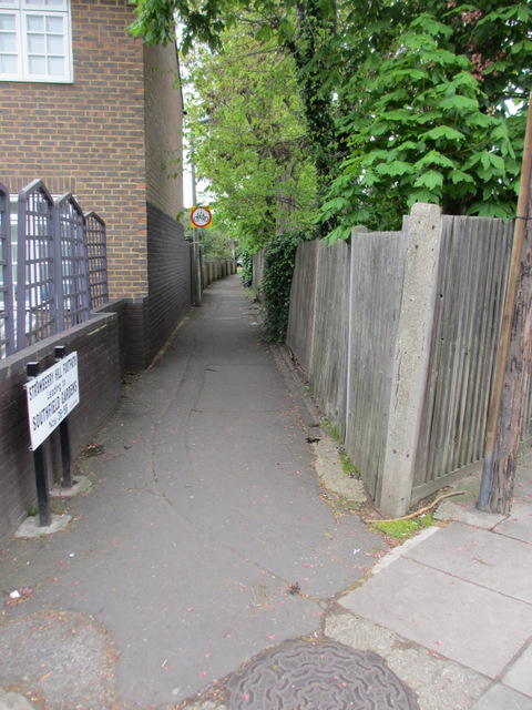
Image: © John S Turner Taken: 6 May 2012
Strawberry Hill footpath leads to Southfield Gardens and it is recorded on the 1871 O.S map. Early maps indicate a bench mark to the right of the opening and two boundary stones nearby, but all seem to have been lost to later development. See also David Howard's photo of the footpath from the other end Image
Images are licensed for reuse under creativecommons.org/licenses/by-sa/2.0
Image Location
Latitude
51.433244
Longitude
-0.338846