Furnace Lane joins Bugbrooke Road
Introduction
The photograph on this page of Furnace Lane joins Bugbrooke Road by Stuart Logan as part of the Geograph project.
The Geograph project started in 2005 with the aim of publishing, organising and preserving representative images for every square kilometre of Great Britain, Ireland and the Isle of Man.

There are currently over 7.5m images from over 14,400 individuals and you can help contribute to the project by visiting https://www.geograph.org.uk
Furnace Lane joins Bugbrooke Road
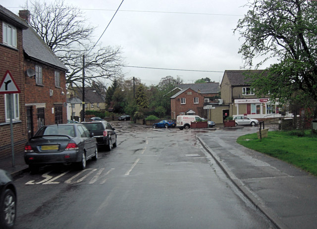
Image: © Stuart Logan Taken: 28 Apr 2012
Weedon Road is joining from the left and Church Street is straight on.
Images are licensed for reuse under creativecommons.org/licenses/by-sa/2.0
Image Location
Latitude
52.221042
Longitude
-1.036304