Nottingham - NG5 (Gregory Boulevard)
Introduction
The photograph on this page of Nottingham - NG5 (Gregory Boulevard) by David Hallam-Jones as part of the Geograph project.
The Geograph project started in 2005 with the aim of publishing, organising and preserving representative images for every square kilometre of Great Britain, Ireland and the Isle of Man.

There are currently over 7.5m images from over 14,400 individuals and you can help contribute to the project by visiting https://www.geograph.org.uk
Nottingham - NG5 (Gregory Boulevard)
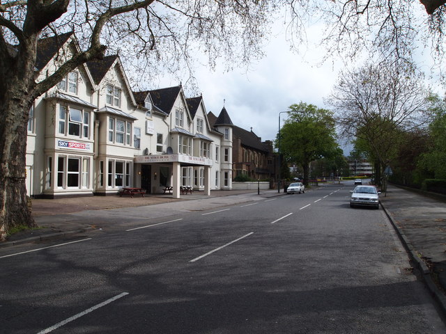
Image: © David Hallam-Jones Taken: 5 May 2012
The Sherwood Rise end of Gregory Boulevard (A6130), a straight avenue of approximately one mile that was constructed and planted out in 1881. This road runs parallel with the edge of The Forest. Visible here are "The Stage Hotel" with Mansfield Road Baptist Church beyond it.
Images are licensed for reuse under creativecommons.org/licenses/by-sa/2.0
Image Location
Latitude
52.967956
Longitude
-1.156617