Old A40 road
Introduction
The photograph on this page of Old A40 road by chris whitehouse as part of the Geograph project.
The Geograph project started in 2005 with the aim of publishing, organising and preserving representative images for every square kilometre of Great Britain, Ireland and the Isle of Man.

There are currently over 7.5m images from over 14,400 individuals and you can help contribute to the project by visiting https://www.geograph.org.uk
Old A40 road
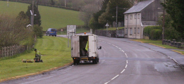
Image: © chris whitehouse Taken: 27 Apr 2012
British Telecom Engineer working on a fault, wonder if the cable ducting is full of water after all the recent heavy rain?
Images are licensed for reuse under creativecommons.org/licenses/by-sa/2.0
Image Location
Latitude
51.847298
Longitude
-4.39727