Motherby Hill
Introduction
The photograph on this page of Motherby Hill by Ashley Dace as part of the Geograph project.
The Geograph project started in 2005 with the aim of publishing, organising and preserving representative images for every square kilometre of Great Britain, Ireland and the Isle of Man.

There are currently over 7.5m images from over 14,400 individuals and you can help contribute to the project by visiting https://www.geograph.org.uk
Motherby Hill
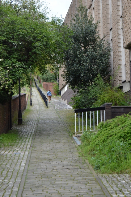
Image: © Ashley Dace Taken: 4 May 2012
Follows the route of the Roman western defensive wall. Several rebuilt walls using Roman stone can be seen on the climb.
Images are licensed for reuse under creativecommons.org/licenses/by-sa/2.0
Image Location
Latitude
53.232078
Longitude
-0.543329