End of Six Mile Bottom
Introduction
The photograph on this page of End of Six Mile Bottom by Hugh Craddock as part of the Geograph project.
The Geograph project started in 2005 with the aim of publishing, organising and preserving representative images for every square kilometre of Great Britain, Ireland and the Isle of Man.

There are currently over 7.5m images from over 14,400 individuals and you can help contribute to the project by visiting https://www.geograph.org.uk
End of Six Mile Bottom
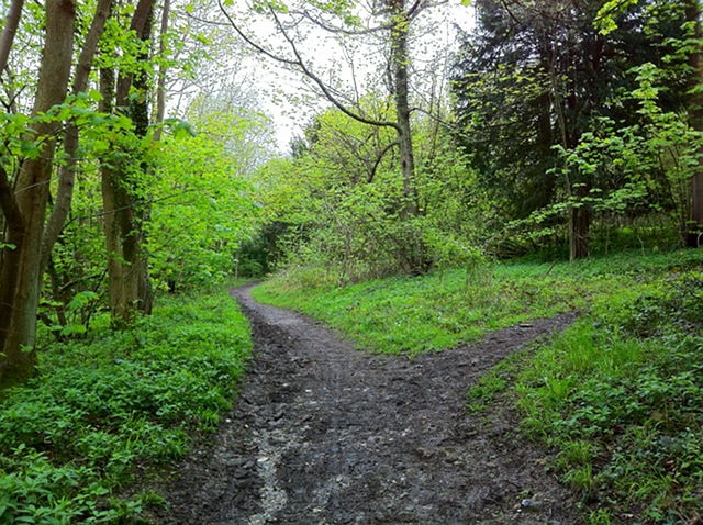
Image: © Hugh Craddock Taken: 5 May 2012
Six Mile Bottom, an informal (and misleading) name for the bridleway along the foot of Norbury Park, skirting the fields of Swanworth Farm, here seen just short of its southerly junction with Crabtree Lane and the south carriage drive to Norbury Park. To the right is a short cut across to the carriage drive and up Crabtree Lane towards Crabtree Lane car park.
Images are licensed for reuse under creativecommons.org/licenses/by-sa/2.0
Image Location
Latitude
51.258505
Longitude
-0.337843