Heol Aneurin, Penyrheol, Caerphilly
Introduction
The photograph on this page of Heol Aneurin, Penyrheol, Caerphilly by Jaggery as part of the Geograph project.
The Geograph project started in 2005 with the aim of publishing, organising and preserving representative images for every square kilometre of Great Britain, Ireland and the Isle of Man.

There are currently over 7.5m images from over 14,400 individuals and you can help contribute to the project by visiting https://www.geograph.org.uk
Heol Aneurin, Penyrheol, Caerphilly
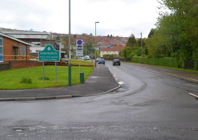
Image: © Jaggery Taken: 1 May 2012
Heol Aneurin heads away from the B4263 into the Penyrheol district of Caerphilly. Penyrheol Community Centre is on the left.http://www.geograph.org.uk/photo/2928775
Images are licensed for reuse under creativecommons.org/licenses/by-sa/2.0
Image Location
Latitude
51.586053
Longitude
-3.244129