The A164 at Tranby Park Farm, Hessle
Introduction
The photograph on this page of The A164 at Tranby Park Farm, Hessle by Paul Glazzard as part of the Geograph project.
The Geograph project started in 2005 with the aim of publishing, organising and preserving representative images for every square kilometre of Great Britain, Ireland and the Isle of Man.

There are currently over 7.5m images from over 14,400 individuals and you can help contribute to the project by visiting https://www.geograph.org.uk
The A164 at Tranby Park Farm, Hessle
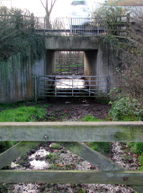
Image: © Paul Glazzard Taken: 11 Dec 2006
Underpass beneath the busy A164 just north of the Humber Bridge, allowing access from Tranby Park Farm to fields on the west side of North Drive Plantation.
Images are licensed for reuse under creativecommons.org/licenses/by-sa/2.0
Image Location
Latitude
53.730358
Longitude
-0.464463