Stainley Gill
Introduction
The photograph on this page of Stainley Gill by Derek Harper as part of the Geograph project.
The Geograph project started in 2005 with the aim of publishing, organising and preserving representative images for every square kilometre of Great Britain, Ireland and the Isle of Man.

There are currently over 7.5m images from over 14,400 individuals and you can help contribute to the project by visiting https://www.geograph.org.uk
Stainley Gill
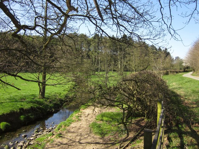
Image: © Derek Harper Taken: 1 Apr 2012
A little west of Image, with Stainley Beck to the left and the lane carrying bridleway 15 121/18/2 and the Ripon Rowel Walk on the right; ahead is an unnamed wood.
Images are licensed for reuse under creativecommons.org/licenses/by-sa/2.0
Image Location


Leaflet Map data © OpenStreetMap
Latitude
54.060583
Longitude
-1.52835