Fernhurst Road east out of Milland
Introduction
The photograph on this page of Fernhurst Road east out of Milland by Dave Spicer as part of the Geograph project.
The Geograph project started in 2005 with the aim of publishing, organising and preserving representative images for every square kilometre of Great Britain, Ireland and the Isle of Man.

There are currently over 7.5m images from over 14,400 individuals and you can help contribute to the project by visiting https://www.geograph.org.uk
Fernhurst Road east out of Milland
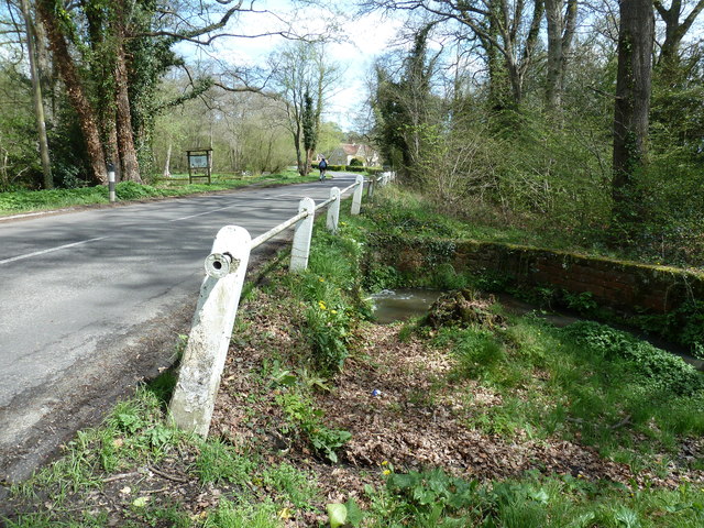
Image: © Dave Spicer Taken: 30 Apr 2012
The stream is Hammer Stream which meets the River Rother at Iping 5 kilometres south.
Images are licensed for reuse under creativecommons.org/licenses/by-sa/2.0
Image Location
Latitude
51.038377
Longitude
-0.802163