The A689 west of Milton
Introduction
The photograph on this page of The A689 west of Milton by John Baker as part of the Geograph project.
The Geograph project started in 2005 with the aim of publishing, organising and preserving representative images for every square kilometre of Great Britain, Ireland and the Isle of Man.

There are currently over 7.5m images from over 14,400 individuals and you can help contribute to the project by visiting https://www.geograph.org.uk
The A689 west of Milton
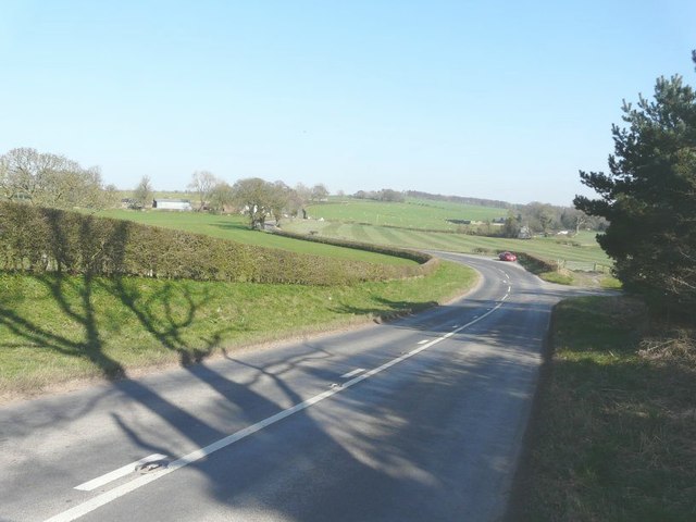
Image: © John Baker Taken: 27 Mar 2012
The road to the right leads to a sand and gravel pit. Just beyond, my car in parked in the lay-by.
Images are licensed for reuse under creativecommons.org/licenses/by-sa/2.0
Image Location
Latitude
54.93484
Longitude
-2.679657