The Shore Road, Greenisland (3)
Introduction
The photograph on this page of The Shore Road, Greenisland (3) by Albert Bridge as part of the Geograph project.
The Geograph project started in 2005 with the aim of publishing, organising and preserving representative images for every square kilometre of Great Britain, Ireland and the Isle of Man.

There are currently over 7.5m images from over 14,400 individuals and you can help contribute to the project by visiting https://www.geograph.org.uk
The Shore Road, Greenisland (3)
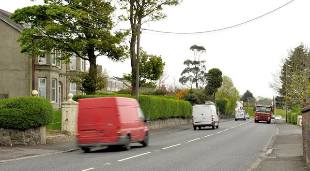
Image: © Albert Bridge Taken: 2 May 2012
The Shore Road, past Neill’s Lane, looking towards Greenisland and Carrickfergus. Most of the houses are still occupied but will, eventually, be demolished to make way for the new road. Shorelands is in the background, at the white sign on the left.
Images are licensed for reuse under creativecommons.org/licenses/by-sa/2.0
Image Location
Latitude
54.688285
Longitude
-5.86992