Hackney (southern fringes): Church of God (World Fellowship),Barrett's Grove
Introduction
The photograph on this page of Hackney (southern fringes): Church of God (World Fellowship),Barrett's Grove by Dr Neil Clifton as part of the Geograph project.
The Geograph project started in 2005 with the aim of publishing, organising and preserving representative images for every square kilometre of Great Britain, Ireland and the Isle of Man.

There are currently over 7.5m images from over 14,400 individuals and you can help contribute to the project by visiting https://www.geograph.org.uk
Hackney (southern fringes): Church of God (World Fellowship),Barrett's Grove
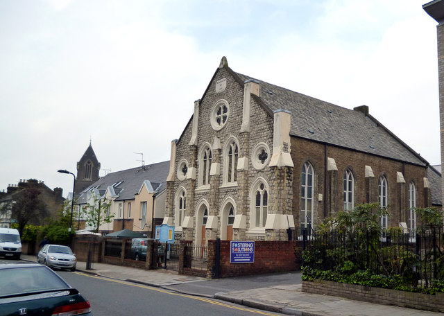
Image: © Dr Neil Clifton Taken: 1 May 2012
The datestone reads '1985', but I interpret this as being the date of refurbishment by the present owners. There is no church marked here on the OS map, but it looks Victorian.
Images are licensed for reuse under creativecommons.org/licenses/by-sa/2.0
Image Location
Latitude
51.552087
Longitude
-0.077482