Forty steps aqueduct at Berrisford Bridge
Introduction
The photograph on this page of Forty steps aqueduct at Berrisford Bridge by Jeremy Bolwell as part of the Geograph project.
The Geograph project started in 2005 with the aim of publishing, organising and preserving representative images for every square kilometre of Great Britain, Ireland and the Isle of Man.

There are currently over 7.5m images from over 14,400 individuals and you can help contribute to the project by visiting https://www.geograph.org.uk
Forty steps aqueduct at Berrisford Bridge
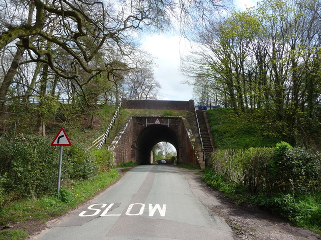
Image: © Jeremy Bolwell Taken: 30 Apr 2012
This 'bridge' carries the Shropshire Union Canal ('the Shroppie') over a lane, or looked at another way, the road or lane burrows through the canal embankment, with its worn stone steps enabling the towpath above to be gained.
Images are licensed for reuse under creativecommons.org/licenses/by-sa/2.0
Image Location
Latitude
52.905022
Longitude
-2.470228