Kep Well, Prudhoe
Introduction
The photograph on this page of Kep Well, Prudhoe by Andrew Curtis as part of the Geograph project.
The Geograph project started in 2005 with the aim of publishing, organising and preserving representative images for every square kilometre of Great Britain, Ireland and the Isle of Man.

There are currently over 7.5m images from over 14,400 individuals and you can help contribute to the project by visiting https://www.geograph.org.uk
Kep Well, Prudhoe
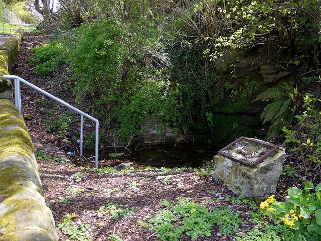
Image: © Andrew Curtis Taken: 28 Apr 2012
The Kep Well on Kepwell Bank is the only one surviving of Prudhoe's original nine wells. It is thought to have been connected to the moat at Prudhoe Castle. There is another photo of the well here Image The notice board that was erected at the site and now destroyed is shown here Image
Images are licensed for reuse under creativecommons.org/licenses/by-sa/2.0
Image Location
Latitude
54.962354
Longitude
-1.854101