Road to Ystrad Mynach from Llanbradach
Introduction
The photograph on this page of Road to Ystrad Mynach from Llanbradach by Jaggery as part of the Geograph project.
The Geograph project started in 2005 with the aim of publishing, organising and preserving representative images for every square kilometre of Great Britain, Ireland and the Isle of Man.

There are currently over 7.5m images from over 14,400 individuals and you can help contribute to the project by visiting https://www.geograph.org.uk
Road to Ystrad Mynach from Llanbradach
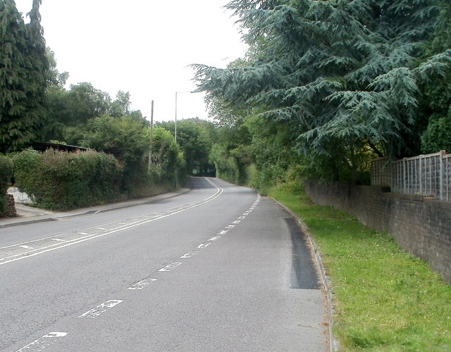
Image: © Jaggery Taken: 22 Jun 2011
The main road through the centre of Llanbradach heads NW away from the village, towards Ystrad Mynach. Before the opening of the A469, this was the principal route north.
Images are licensed for reuse under creativecommons.org/licenses/by-sa/2.0
Image Location
Latitude
51.623076
Longitude
-3.229251