The Wingfield, Llanbradach
Introduction
The photograph on this page of The Wingfield, Llanbradach by Jaggery as part of the Geograph project.
The Geograph project started in 2005 with the aim of publishing, organising and preserving representative images for every square kilometre of Great Britain, Ireland and the Isle of Man.

There are currently over 7.5m images from over 14,400 individuals and you can help contribute to the project by visiting https://www.geograph.org.uk
The Wingfield, Llanbradach
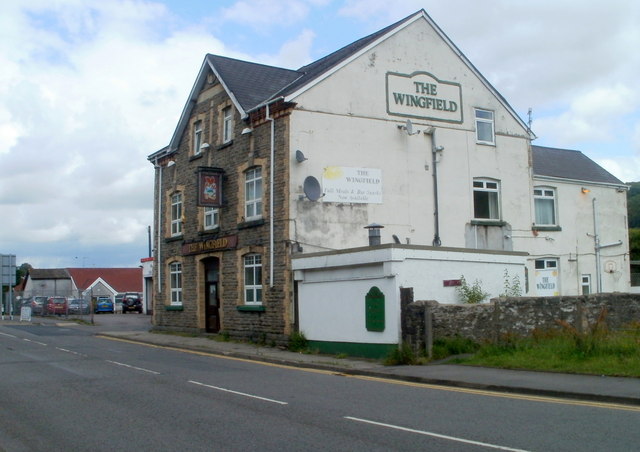
Image: © Jaggery Taken: 22 Jun 2011
Pub at the southern end of Wingfield Crescent, near the corner of Rue de Ploubezre. http://www.geograph.org.uk/photo/2920150
Images are licensed for reuse under creativecommons.org/licenses/by-sa/2.0
Image Location
Latitude
51.610506
Longitude
-3.227467