Country lane
Introduction
The photograph on this page of Country lane by Eirian Evans as part of the Geograph project.
The Geograph project started in 2005 with the aim of publishing, organising and preserving representative images for every square kilometre of Great Britain, Ireland and the Isle of Man.

There are currently over 7.5m images from over 14,400 individuals and you can help contribute to the project by visiting https://www.geograph.org.uk
Country lane
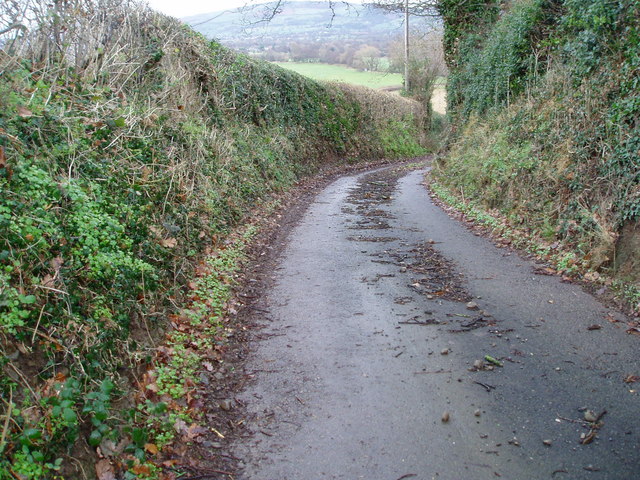
Image: © Eirian Evans Taken: 10 Dec 2006
The lane down from Mynydd Llech to the A525, between Rhewl and Llanrhaeadr. The Vale of Clwyd can be seen in the distance.
Images are licensed for reuse under creativecommons.org/licenses/by-sa/2.0
Image Location
Latitude
53.143729
Longitude
-3.363443