Footpath, Malling Down Nature Reserve
Introduction
The photograph on this page of Footpath, Malling Down Nature Reserve by Simon Carey as part of the Geograph project.
The Geograph project started in 2005 with the aim of publishing, organising and preserving representative images for every square kilometre of Great Britain, Ireland and the Isle of Man.

There are currently over 7.5m images from over 14,400 individuals and you can help contribute to the project by visiting https://www.geograph.org.uk
Footpath, Malling Down Nature Reserve
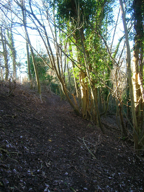
Image: © Simon Carey Taken: 9 Dec 2006
Looking back to the point where the path leaves the golf course and enters the reserve. The reserve is open access land.
Images are licensed for reuse under creativecommons.org/licenses/by-sa/2.0
Image Location
Latitude
50.875562
Longitude
0.022616