Towards Flat Farm
Introduction
The photograph on this page of Towards Flat Farm by Derek Harper as part of the Geograph project.
The Geograph project started in 2005 with the aim of publishing, organising and preserving representative images for every square kilometre of Great Britain, Ireland and the Isle of Man.

There are currently over 7.5m images from over 14,400 individuals and you can help contribute to the project by visiting https://www.geograph.org.uk
Towards Flat Farm
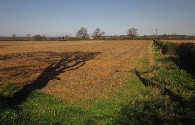
Image: © Derek Harper Taken: 1 Apr 2012
This is the view shown in Image at a different time of year, with leafless oaks along the far field boundary revealing a little more of the farm buildings. Taken a few metres from the B6165 at Nidd.
Images are licensed for reuse under creativecommons.org/licenses/by-sa/2.0
Image Location
Latitude
54.03612
Longitude
-1.547407