Ember Path, Warkworth
Introduction
The photograph on this page of Ember Path, Warkworth by Andrew Curtis as part of the Geograph project.
The Geograph project started in 2005 with the aim of publishing, organising and preserving representative images for every square kilometre of Great Britain, Ireland and the Isle of Man.

There are currently over 7.5m images from over 14,400 individuals and you can help contribute to the project by visiting https://www.geograph.org.uk
Ember Path, Warkworth
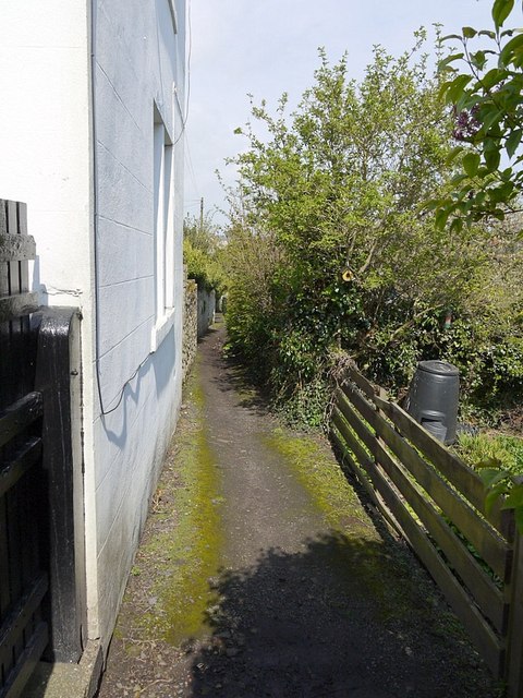
Image: © Andrew Curtis Taken: 22 Apr 2012
The Ember Path is a narrow footpath which runs through the area of Warkworth known as The Butts Image
Images are licensed for reuse under creativecommons.org/licenses/by-sa/2.0
Image Location
Latitude
55.34687
Longitude
-1.610961